Archiv der Kategorie: Landschaft

Landschaftsfotografien

Canada, Yukon Territory, Indian Summer

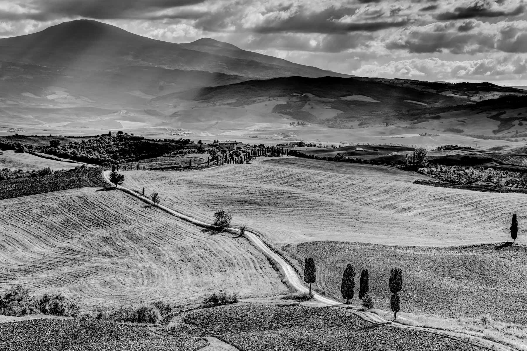
Indian Summer in the Yukon territory.

In autumn the landscape in Canada turns into warm colours.

Yukon Coposite Indian Summer


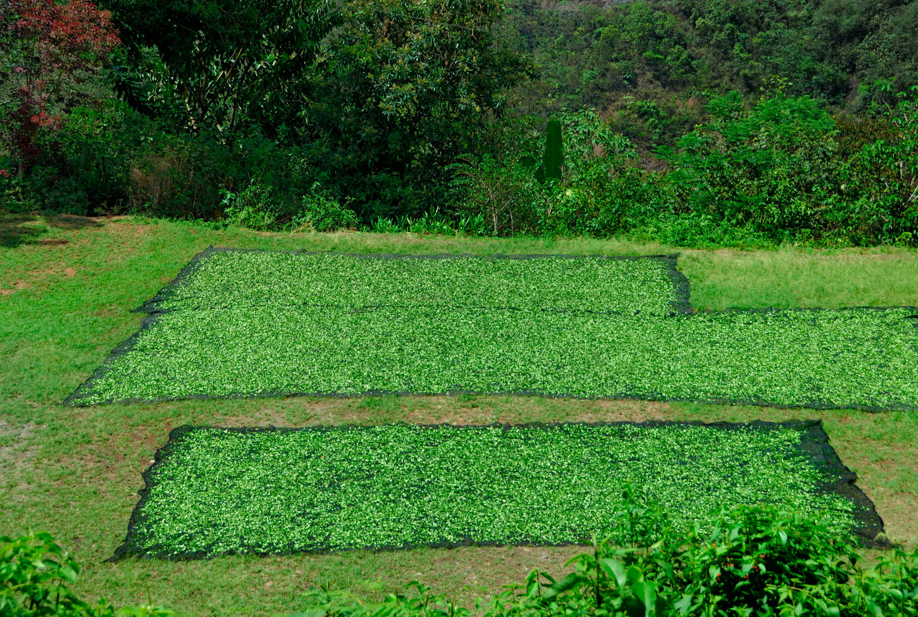
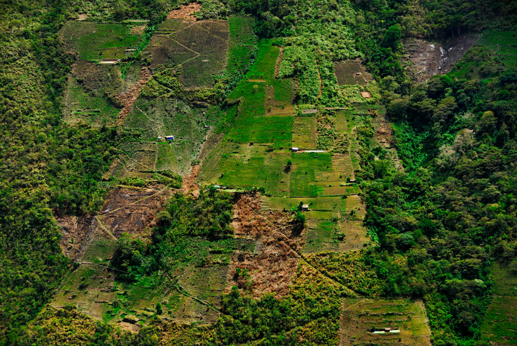
For more composite pictures please
visit www.ralf-kayser-photo.com

The Yukon Territory is a Canadian region located in the far north of the country, known for its rugged wilderness, natural beauty, and unique culture. The Indian Summer is a term used to describe the period of warm and sunny weather that occurs in the fall, usually in September and October.

During the Indian Summer, the Yukon Territory offers a wide range of outdoor activities such as hiking, camping, fishing, and wildlife watching, as the leaves are changing colors, creating a beautiful landscape.

Some popular things to see and do in the Yukon during Indian Summer include:

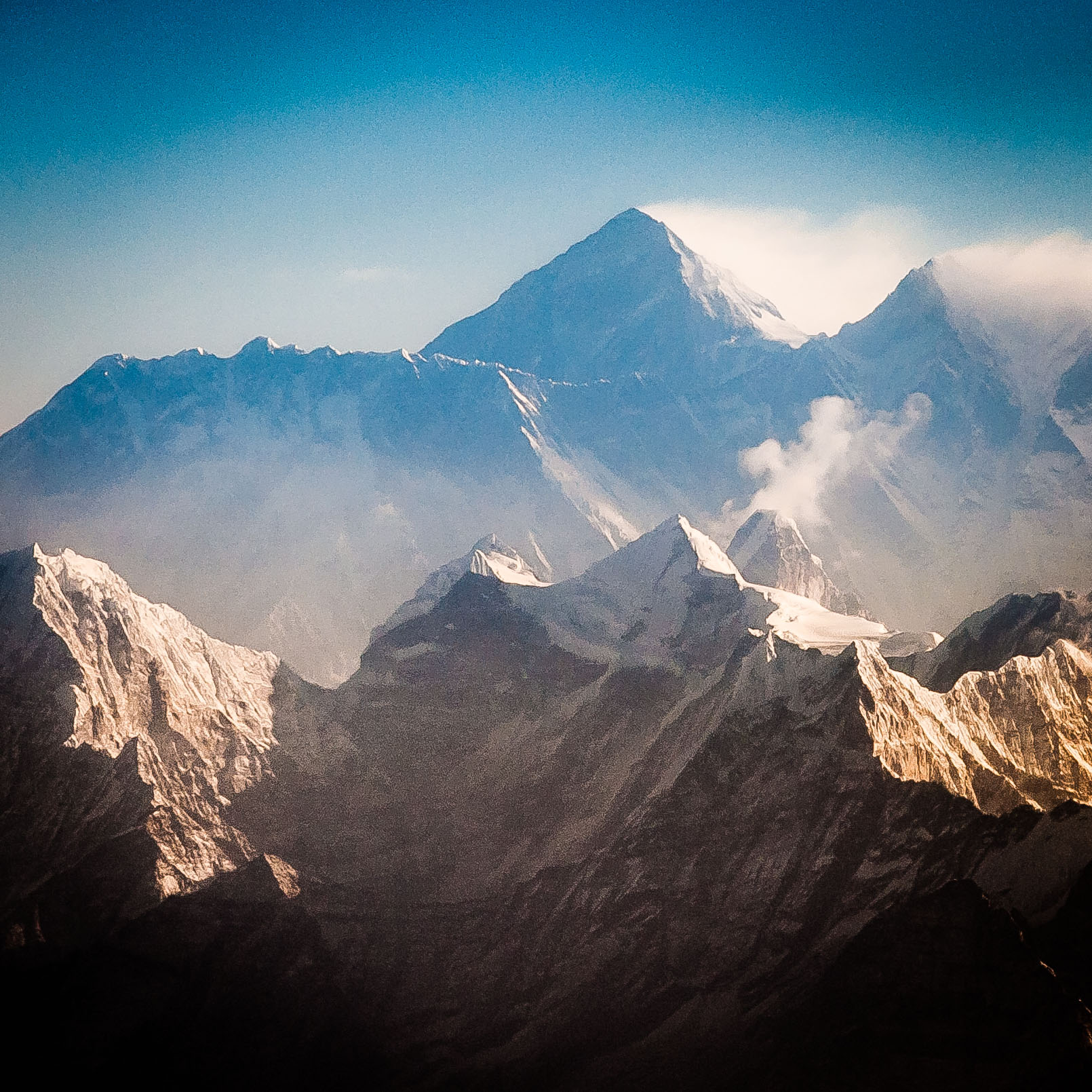
  • Hiking in one of the many national parks such as Kluane National Park, home of Mount Logan, Canada’s highest peak, and Tombstone Territorial Park, known for its rugged mountains and alpine meadows.
  • Fishing for salmon in the many rivers and streams that flow through the region.
  • Wildlife watching, such as spotting grizzly bears, caribou, and moose in their natural habitat.
  • Visiting the Whitehorse, the capital city of the Yukon, known for its history, culture, and outdoor activities.
  • Visiting the Dawson City, a city located in the heart of the Klondike Gold Rush, known for its history, culture, and outdoor activities.
  • Visiting the Takhini Hot Pools, natural hot springs located just outside of Whitehorse, and offers a relaxing soak after a day of outdoor activities

It’s also important to note that the Indian Summer in the Yukon Territory can be short-lived, and the weather can change quickly, so it is important to be prepared for different weather conditions and to check the forecast before heading out.

Le territoire du Yukon est une région canadienne située à l’extrême nord du pays, connue pour sa nature sauvage, sa beauté naturelle et sa culture unique. L’été indien est un terme utilisé pour décrire la période de temps chaud et ensoleillé qui se produit à l’automne, généralement en septembre et octobre.

Pendant l’été indien, le territoire du Yukon offre un large éventail d’activités de plein air telles que la randonnée, le camping, la pêche et l’observation de la faune, car les feuilles changent de couleur, créant un paysage magnifique.

Voici quelques activités populaires à voir et à faire au Yukon pendant l’été indien :

Faire de la randonnée dans l’un des nombreux parcs nationaux, comme le parc national de Kluane, où se trouve le mont Logan, le plus haut sommet du Canada, et le parc territorial de Tombstone, connu pour ses montagnes accidentées et ses prairies alpines.
La pêche au saumon dans les nombreuses rivières et ruisseaux qui traversent la région.
L’observation de la faune, notamment des grizzlis, des caribous et des orignaux dans leur habitat naturel.
Visiter Whitehorse, la capitale du Yukon, connue pour son histoire, sa culture et ses activités de plein air.
Visite de Dawson City, une ville située au cœur de la ruée vers l’or du Klondike, connue pour son histoire, sa culture et ses activités de plein air.
Visiter les piscines chaudes de Takhini, des sources chaudes naturelles situées juste à l’extérieur de Whitehorse, qui offrent un bain relaxant après une journée d’activités de plein air.
Il est également important de noter que l’été indien dans le territoire du Yukon peut être de courte durée et que le temps peut changer rapidement. Il est donc important de se préparer à différentes conditions météorologiques et de vérifier les prévisions avant de partir.

Tuscany Italy

Impressions of Tuscany

Typicaly impresions from Tuscany are in colour because of the special light in this region.
But also in black&white you can get an idea how „light“ looks in Tuscany – just use your imagination.

Tuscany Gladiators
Tuscany Gladiators


Tuscany Landscape
Tuscany Landscape


Firenze Arno River
Firenze Arno River


[google-map-v3 shortcodeid=“b56790c6″ width=“350″ height=“350″ zoom=“6″ maptype=“roadmap“ mapalign=“left“ directionhint=“false“ language=“default“ poweredby=“false“ maptypecontrol=“true“ pancontrol=“true“ zoomcontrol=“true“ scalecontrol=“true“ streetviewcontrol=“true“ scrollwheelcontrol=“false“ draggable=“true“ tiltfourtyfive=“false“ enablegeolocationmarker=“false“ enablemarkerclustering=“false“ addmarkermashup=“false“ addmarkermashupbubble=“false“ addmarkerlist=“italien florenz{}1-default.png“ bubbleautopan=“true“ distanceunits=“km“ showbike=“false“ showtraffic=“false“ showpanoramio=“false“]

Picture of the Day

Picture of the Day on www.heise-foto.de

Iceland - Austurland
Iceland – Austurland (also on www.ralf-kayser-photo.com)

The picture of the day published by Heise on www.heise-foto.de.
Iceland, traveling on the ring road No. 1 in the north west, Austurland (65°27’25“ N 15°48’26“ W). The picture was taken on 3.6.13 at 13:34 o’clock.
Exposure: Nikon D800E, 80-400 mm f/4.5-5.6 – focal length 270 mm, 1/250 Sec. @ f/6.3, ISO 200.
The sun is breaking through the clouds, due to this a unique light situation is created. In the foreground the desert like area is turned into a golden glow and in the same time the mountains in the background stay in the shadow and mist.

Foto des Tages auf www.Heise-Foto.de

Island, unterwegs auf der Ringstraße im Nord-Westen, Austurland (65°27’25“ N 15°48’26“ W).
Aufnahme am 3.6.13 um 13:34 Uhr.
Aufgenommen mit Nikon D800E, 80-400 mm f/4.5-5.6 – Brennweite 270 mm, 1/250 Sek. Bei f/6.3, ISO 200.
Die Sonne bricht durch die Wolkendecke, dadurch entsteht diese Lichtsituation in der der karge Vordergrund in der Sonne leuchtet und die Berge im Hintergrund im Schatten und im Dunst liegen.

[google-map-v3 shortcodeid=“55d1a011″ width=“350″ height=“350″ zoom=“6″ maptype=“roadmap“ mapalign=“left“ directionhint=“false“ language=“default“ poweredby=“false“ maptypecontrol=“true“ pancontrol=“true“ zoomcontrol=“true“ scalecontrol=“true“ streetviewcontrol=“true“ scrollwheelcontrol=“false“ draggable=“true“ tiltfourtyfive=“false“ enablegeolocationmarker=“false“ enablemarkerclustering=“false“ addmarkermashup=“false“ addmarkermashupbubble=“false“ addmarkerlist=“Iceland Austurland{}1-default.png“ bubbleautopan=“true“ distanceunits=“km“ showbike=“false“ showtraffic=“false“ showpanoramio=“false“]


Sturm über Island – Storm over Iceland

Sturm über Island
Diese Aufnahme entstand im Hochland von Island.
Es herrschte stürmischer Wind, ca. 100 km/h. Die Sonne schien. Temperatur 5C, gefühlt -10C.
Dieses Zusammenspiel führte zu diesen bizarren  Wolkenformationen.  Die Straße 910 führt zum Kárahnjúkar-Kraftwerk. Deshalb ist sie auch asphaltiert. Das ermöglicht den Zugang zum Hochland auch im Frühjahr wenn die Pisten noch alle gesperrt sind. Die Schneeschmelze hatte gerade eingesetzt.

Storm over Iceland
This capture was taken in the highland of Iceland.
A stormy wind was blowing with about 100 km/hour. The sun was shining throughout the whole day. The temperature was 5°C but due to the wind the felt temperature was -10°C.
These weather conditions lead to this bizarre cloud formations. The road 910 will lead to the Karahnjukar-Power-Station. This is the reason why it is fully developed asphalted road. Due to this fact it is easy to access the highland area of Iceland also now during spring time when normal gravel roads are still closed. The snowmelt was just starting.
Iceland is an absolute stunning place to visit!


Island Sturm Himmel
Island Sturm Himmel

Equipment: Nikon D800E, Zeiss 18mm f3.5

Kárahnjúkar Island ‎ 479 m SW
[google-map-v3 shortcodeid=“4a3e72e8″ width=“350″ height=“350″ zoom=“8″ maptype=“roadmap“ mapalign=“left“ directionhint=“false“ language=“default“ poweredby=“false“ maptypecontrol=“true“ pancontrol=“true“ zoomcontrol=“true“ scalecontrol=“true“ streetviewcontrol=“true“ scrollwheelcontrol=“false“ draggable=“true“ tiltfourtyfive=“false“ enablegeolocationmarker=“false“ enablemarkerclustering=“false“ addmarkermashup=“false“ addmarkermashupbubble=“false“ addmarkerlist=“Kárahnjúkar Island ‎ 479 m SW{}1-default.png“ bubbleautopan=“true“ distanceunits=“miles“ showbike=“false“ showtraffic=“false“ showpanoramio=“false“]

Salar de Uyuni Bolivien

Der Salar de Uyuni ist ein Salzsee in Bolivien. Es ist eine einmalige Szenerie. Die Salzdecke ist zwischen einigen Zentimetern und mehreren Metern dick. Es ist ratsam den Fahrspuren zu folgen. Abseits kann man einbrechen. Das kann bedeuten dass man nur stecken bleibt oder komplett im See versinkt. Man hat den Eindruck einer unendlichen Ebene. Mitten in der gleißend weißen Wüste ist Fisher Island eine kleine hügelige Insel auf der Kakteen wachsen. Der Salar de Uyuni ist ein Muss für Bolivienbesucher. Eine Gletscherbrille gegen das helle Licht und Koka Tee gegen die Höhe sind zu empfehlen.
Lithium Vorkommen haben einen Streit entfacht zwischen Rohstofffirmen und Naturschützern ausgelöst.

The Salar de Uyuni is a salt lake in Bolivia. It is a very special and unique scenery. The thickness of the salt layer is between few centimetres and several meters thick. It is a good advice to follow the traffic lane. Off road you could break through. It is possible to get stuck or even to drown completely in the lake. If you are looking towards the horizon you get the feeling of an endless plain. In the middle of this glistening white desert you will find Fisher Island. It is a small hilly island covered with hundreds of cacti. The Salar de Uyuni is a must for Bolivia visitors. Snow goggles against the bright light and some coca-tea for the height are recommended.
Some Lithium which was fond in this region has led to a struggle between conservationists and commodity companies. 

Salar de Uyuni Bolivien
Der Salar de Uyuni ist ein Salzsee in Bolivien. Es ist eine einmalige Szenerie. Die Salzdecke ist zwischen einigen Zentimetern und mehreren Metern dick

Salar de Uyuni Bolivien
Der Salar de Uyuni ist ein Salzsee in Bolivien. Es ist eine einmalige Szenerie. Die Salzdecke ist zwischen einigen Zentimetern und mehreren Metern dick

Fisher Island
Fisher Island Salar de Uyuni Bolivien

[google-map-v3 shortcodeid=“1df186a7″ width=“350″ height=“350″ zoom=“7″ maptype=“roadmap“ mapalign=“left“ directionhint=“false“ language=“default“ poweredby=“false“ maptypecontrol=“true“ pancontrol=“true“ zoomcontrol=“true“ scalecontrol=“true“ streetviewcontrol=“true“ scrollwheelcontrol=“false“ draggable=“true“ tiltfourtyfive=“false“ enablegeolocationmarker=“false“ enablemarkerclustering=“false“ addmarkermashup=“false“ addmarkermashupbubble=“false“ addmarkerlist=“Bolivien Salar de Uyuni{}1-default.png{}Salzsee und Fisher Island“ bubbleautopan=“true“ distanceunits=“miles“ showbike=“false“ showtraffic=“false“ showpanoramio=“false“]


Waldelefanten im Kongo Odzala Nationalpark

Unterwegs im Kongo Odzala Nationalpark.
Im hohen Gras sieht man nur den Kopf und Rüssel des jungen Waldelefanten. Er war nicht weit weg. Der Abstand war nur 15-20 m. Ich bin zu Fuß unterwegs, eigentlich auf der Suche nach Termitenhügeln. Kurz darauf sehe ich auch das Muttertier und weitere Verwandte. Das hätte schief gehen können. Die Waldelefanten werden als sehr aggressiv eingeschätzt. Und ich wurde sicher viel früher bemerkt und wäre einem Angriff nicht entkommen. Aber wenn man ein gutes Motiv wittert dann vergisst man schnell die Gefahr. Man kennt ja die Geschichte wo Michael „Nick“ Nichols im Gabun von einem Waldelefanten aufgespießt wurde. Er hatte Glück und überlebte. www.michaelnicknichols.com
Die Republik Kongo ist ein faszinierendes Reiseziel und ich kann nur jedem empfehlen sie zu bereisen. Ivory Tours in Nürnberg bietet diese Reise an. Es ist keine Schnäppchen Pauschalreise, kostet ein paar Euro, aber absolut außergewöhnlich und bleibt unvergessen.

Traveling in the Congo Odzala National park
In the high grass you can see only the head and the trunk of the juvenile forest elephant. It was not far away. The distance was only about 15-20 m. I was moving around by foot, actually looking for termite hills. A moment later I discovered the mother and some more relatives. It could have ended up in trouble. These forest elephants are known for their aggressive behaviour. I am sure they dicoverd me much before I saw them and if they would have attacked me I had not had a chance to escape. But for a good shot you do not realize the danger. If you know the story of Michael “Nick” Nichols in Gabun where he was impaled by a forest elephants tusk. He was lucky and survived. www.michaelnicknichols.com
The Republic of Congo is a fascinating travel destination. I can highly recommend this, it is a little adventure. Ivory Tours in Nürnberg is offering such a trip. It is not a bargain but it is exceptional and you will remember it forever.

Waldelefant im Kongo

[google-map-v3 shortcodeid=“8cb440db“ width=“350″ height=“350″ zoom=“6″ maptype=“roadmap“ mapalign=“left“ directionhint=“false“ language=“default“ poweredby=“false“ maptypecontrol=“true“ pancontrol=“true“ zoomcontrol=“true“ scalecontrol=“true“ streetviewcontrol=“true“ scrollwheelcontrol=“false“ draggable=“true“ tiltfourtyfive=“false“ enablegeolocationmarker=“false“ enablemarkerclustering=“false“ addmarkermashup=“false“ addmarkermashupbubble=“false“ addmarkerlist=“Kongo Odzala{}1-default.png{}Waldelefanten“ bubbleautopan=“true“ distanceunits=“miles“ showbike=“false“ showtraffic=“false“ showpanoramio=“false“]


Namibia – Moon over Africa

Bevor die Sonne ganz untergegangen ist zeigt sich der Mond. Das Webervogelnest im Vordergrund. Die Savanne ist in orangenes Licht gehüllt. Es ist Vollmond in Namibia, Damaraland. In der Nacht ist es durch den Mond so hell dass man seinen Schatten sehen kann. Mondschatten. Die Luft ist hier so klar dass es bei Vollmond Nachts
so hell ist dass man ohne künstliches Licht sehen kann. Später wenn der Mond untergegangen ist wird es stock finster. Aber dann sieht man die Sterne, die Milchstraße, wie man sie in Europa noch nie gesehen hat.

Before the sun sets completely the mood shows up. A weaver bird nest in the foreground. The savannah is covered with orange light. It is full moon in Namibia, Damaraland. During the night the light reflected by the moon will create a shadow of yourself on the ground. Moon-shadow. The air is absolutely clear here so you do not need any artificial light during the night when the moon is shining. After the moon is set it gets absolutely dark. But now you will see the stars in an incredible way you have never seen it in Europe

Namibia Moon over Africa

[google-map-v3 shortcodeid=“5a845d00″ width=“350″ height=“350″ zoom=“6″ maptype=“roadmap“ mapalign=“left“ directionhint=“false“ language=“default“ poweredby=“false“ maptypecontrol=“true“ pancontrol=“true“ zoomcontrol=“true“ scalecontrol=“true“ streetviewcontrol=“true“ scrollwheelcontrol=“false“ draggable=“true“ tiltfourtyfive=“false“ enablegeolocationmarker=“false“ enablemarkerclustering=“false“ addmarkermashup=“false“ addmarkermashupbubble=“false“ addmarkerlist=“Namibia Damaraland{}1-default.png{}Moon over Africa“ bubbleautopan=“true“ distanceunits=“miles“ showbike=“false“ showtraffic=“false“ showpanoramio=“false“]

Koka Ernte in Bolivien

Koka Ernte in Bolivien
Kokablätter werden zum Trocknen ausgelegt. Kokablätter kann man in Bolivien an jeder Ecke kaufen. Zum Tee aufbrühen und zum in die Backen stopfen. Touristen trinken den Koka Tee um der Höhenkrankheit vorzubeugen. Koka Felder sind leicht in der Landschaft auszumachen. Die Parzellen sind sehr gepflegt und heben sich deutlich vom Rest der Umgebung ab. Koka Tee schmeckt ähnlich wie grüner Tee. Irgendeine Wirkung ist nicht zu spüren. Die Weiterverarbeitung zu Kokain ist verboten und wird verfolgt. Die USA engagieren sich auch bei der Bekämpfung von Kokain Labors und unterstützen die bolivianischen Behörden.

Coca Leaves harvest in Bolivia
Coca leaves are spread to be dried. Coca leave you can buy in Bolivia everywhere on every street corner. To prepare a tea or to chew it. Tourist are drinking this tea to prevent mountain sickness. Coca fields are easily to detect in the landscape. This lots of land are very well cultivated and due to this they differ from the rest of the surrounding. Coca tea tastes like green tea. You will not feel any kind of effect. The processing to Cocaine is permitted and will be prosecuted. The USA are engaged to fight the cocaine labs and support the Bolivian authorities.


Koka Ernte in Bolivien


Koka Blätter werden getrocknet


Kokafeld in Bolivien
Koka Feld

Equipment: Nikon D700
[google-map-v3 shortcodeid=“3de480a8″ width=“350″ height=“350″ zoom=“5″ maptype=“roadmap“ mapalign=“left“ directionhint=“false“ language=“default“ poweredby=“false“ maptypecontrol=“true“ pancontrol=“true“ zoomcontrol=“true“ scalecontrol=“true“ streetviewcontrol=“true“ scrollwheelcontrol=“false“ draggable=“true“ tiltfourtyfive=“false“ enablegeolocationmarker=“false“ enablemarkerclustering=“false“ addmarkermashup=“false“ addmarkermashupbubble=“false“ addmarkerlist=“Bolivien{}1-default.png“ bubbleautopan=“true“ distanceunits=“miles“ showbike=“false“ showtraffic=“false“ showpanoramio=“false“]


Mount Everest

Rundflug zum Mount Everest in Nepal
Die Aufnahme entstand auf einem Rundflug. Start in Katmandu am frühen Morgen. Bei Sonnenaufgang entlang der Himalaya Bergkette. Blick auf die höchsten Berge der Erde. Die Qualität der Bilder leidet etwas da man durch die Fenster des Flugzeugs fotografieren musste. In der Mitte der Mount Everest 8848 m hoch. Links der Nuptse 7861 m hoch. Rechts der Lhotse 8516 m hoch.

Pleasure Flight to Mount Everest in Nepal
This exposure was made on a pleasure flight. Start in the early morning in Kathmandu. During sun rise along the Himalaya mountain ridge. With a view on the highest mountains of the world. The quality of the exposures are not perfect because the shot was done through the airplane window. In the middle the Mount Everest 8848 m high. On the left side Nuptse 7861 m high. On the right side Lhotse 8516 m high.


Mt. Everest, Lhotse, Nuptse

Equipment: Nikon D700

.
[google-map-v3 shortcodeid=“87509646″ width=“350″ height=“350″ zoom=“8″ maptype=“roadmap“ mapalign=“left“ directionhint=“false“ language=“default“ poweredby=“false“ maptypecontrol=“true“ pancontrol=“true“ zoomcontrol=“true“ scalecontrol=“true“ streetviewcontrol=“true“ scrollwheelcontrol=“false“ draggable=“true“ tiltfourtyfive=“false“ enablegeolocationmarker=“false“ enablemarkerclustering=“false“ addmarkermashup=“false“ addmarkermashupbubble=“false“ addmarkerlist=“Mount Everest Nepal{}1-default.png“ bubbleautopan=“true“ distanceunits=“miles“ showbike=“false“ showtraffic=“false“ showpanoramio=“false“]

.

Viel zu bunt!

Yukon – Indian Summer – viel zu bunt!

Ja, auf den ersten Blick sieht das doch viel zu bunt aus. Objektiv ist das natürlich auch so. Aber meiner Meinung nach soll das Bild die Situation und den Eindruck so wiedergeben wie es mir subjektiv vorgekommen ist. Und das war genau so extrem bunt wie man es jetzt auf dem Photo sehen kann. Indian Summer Yukon Kanada.

Yukon Indian Summer
Yukon Indian Summer

Equipment: Nikon D700, Nikkor 14-24mm 1:2,8

Location:
[google-map-v3 shortcodeid=“c556ff2d“ width=“350″ height=“350″ zoom=“12″ maptype=“roadmap“ mapalign=“left“ directionhint=“false“ language=“default“ poweredby=“false“ maptypecontrol=“true“ pancontrol=“true“ zoomcontrol=“true“ scalecontrol=“true“ streetviewcontrol=“true“ scrollwheelcontrol=“false“ draggable=“true“ tiltfourtyfive=“false“ enablegeolocationmarker=“false“ enablemarkerclustering=“false“ addmarkermashup=“false“ addmarkermashupbubble=“false“ addmarkerlist=“Whitehorse, Yukon, Kanada{}1-default.png“ bubbleautopan=“true“ distanceunits=“miles“ showbike=“false“ showtraffic=“false“ showpanoramio=“false“]